Yerington Trails
The Yerington area offers a number of dirt roads and jeep trails that lead from Yerington to Fort Churchill along the Carson River and through the verdant Mason Valley. The developed trails are open to both motorized and non-motorized vehicles. These trails are under several jurisdictions. There are no signs specific to the trails. Always carry a good map.
Getting There: Yerington is 79 miles southeast of Reno.
Off-roaders will find nine trails:
Adrian Valley Trails: From U.S. Alt. 95 south of the Carson River trailhead, numerous trails, distances vary. Low maintenance dirt roads.
Carson River Trails: From U.S. Alt. 95 to Fort Churchill, 10 miles one way, with other trails nearby.
Fort Churchill Road: From U.S. 50 to Fort Churchill, 15 miles one way. Low maintenance dirt roads.
Hudson Road Trails: Off State Route 208, two miles west from the Walker River rest area, distances vary.
Mason Pass Road: Access via U.S. Alt. 95 to Luzier Ln., 11 miles one way.
Mason Valley Wildlife Refuge: Paved access from Yerington on Aiazzi Rd., four miles to the Refuge. Roads at the Refuge are gravel and dirt.
Missouri Flat Trails: From State Route 208, two miles north of Wilson Canyon, turn right on Missouri Flat Rd., distances vary.
Pine Grove Trails: Ten miles south of Yerington off State Route 208, eight miles one way.
Weed Heights Area: Access in downtown Yerington or from the Weed Heights Park, distances vary. Dirt roads through the mountains are very rough. Suitable for high-clearance, four-wheel drive vehicles, ATVs and dirt bikes.
This Location:

City
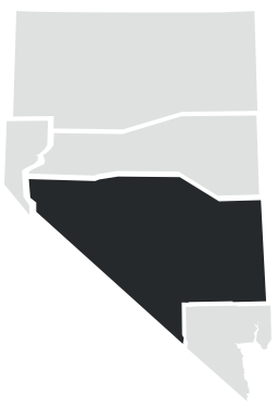
YeringtonRegion
Central
