Table Mountain Wilderness
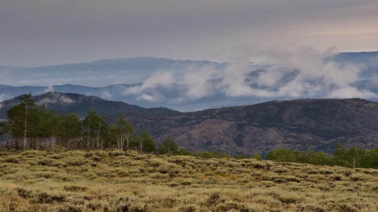
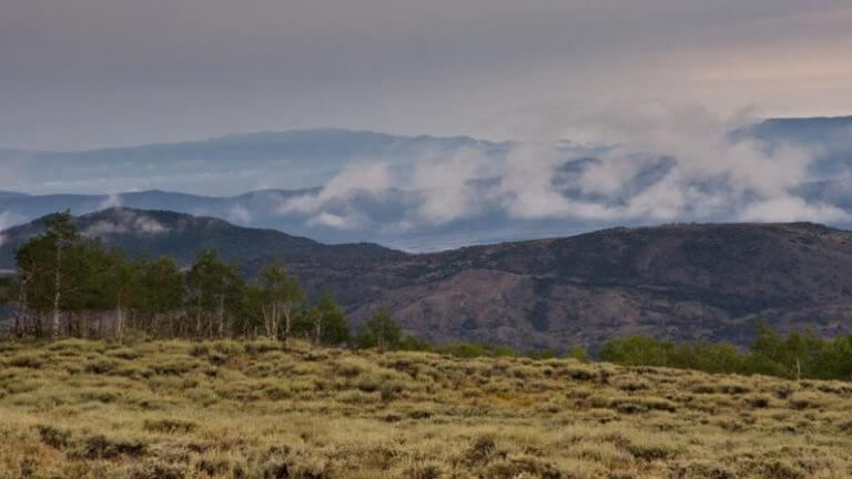
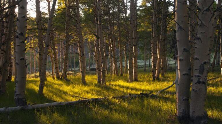
The 98,000-acre Table Mountain Wilderness lies in the Monitor Range, which stretches across the midsection of Nevada 60 miles north of Tonopah. At the heart of the wilderness area is Table Mountain, a 10-mile-long plateau with an average elevation of 10,000′. Aside from the scenic mesas of the Monitor Range, this wilderness area is marked by abundant water, which feeds the scenic stands of aspen and timber pine in the hillsides and canyons. Distance: More than 100 miles of trails Elevation: 7,900′ to 11,941′ Difficulty: Advanced Getting There: Table Mountain Wilderness is located 60 miles northeast of Tonopah. To reach the Mosquito Creek trailhead from Tonopah, head east on U.S. 6 for 5.4 miles to the junction of State Route 376. Head north on 376 for 13 miles to Monitor Valley Rd. for 45.3 miles to the intersection with the road to the Mosquito Creek trailhead, signed “Morgan Creek-Mosquito Creek.” Travel northeast on this road for 5.7 miles to the Forest service Rd. No. 096. Turn east and continuet wo miles to the trailhead. Horseback riding Numerous trails are offered for horseback riders in this remote area. It is home to numerous day and overnight trails for horseback riders. Getting There: The Austin/Tonopah Districts of the Humboldt-Toiyabe National Forest are scattered among the Toiyabe, Toquima and Monitor Ranges about 50 miles north of Tonopah. Trails are accessible from State Route 82.
This Location:
City
TonopahRegion
Central