
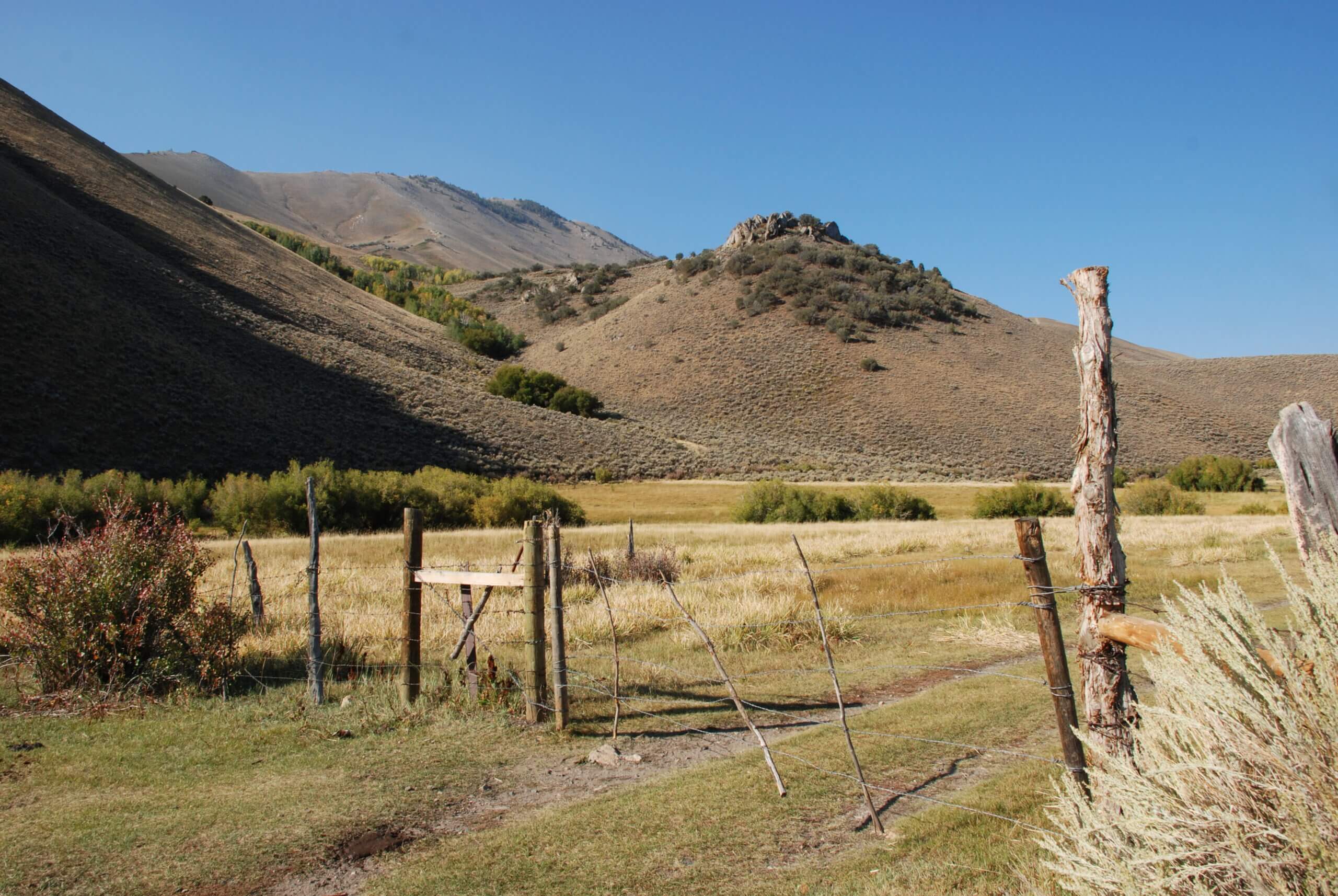
Toiyabe Crest National Recreation Trail & Arc Dome Wilderness
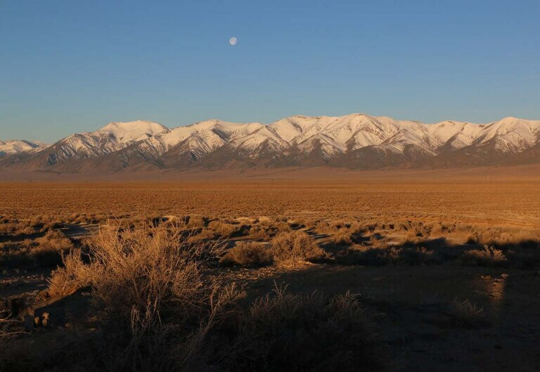
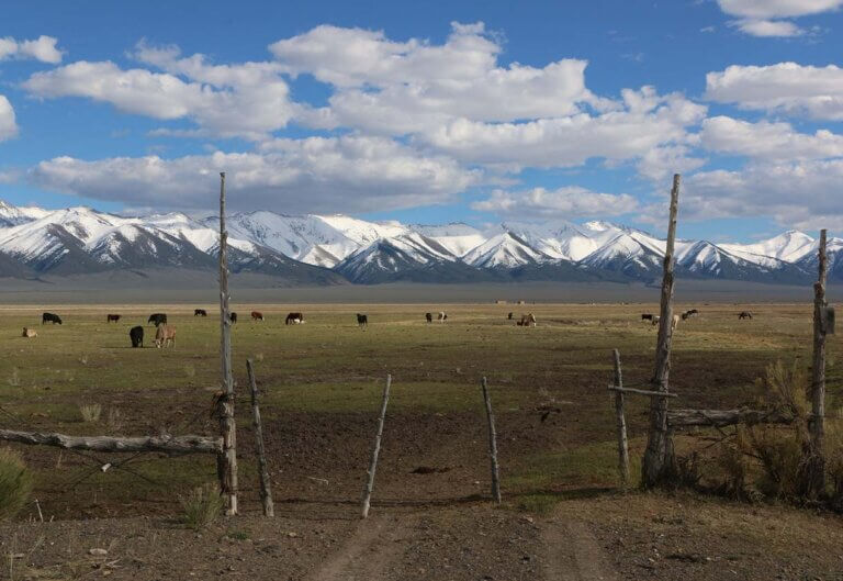
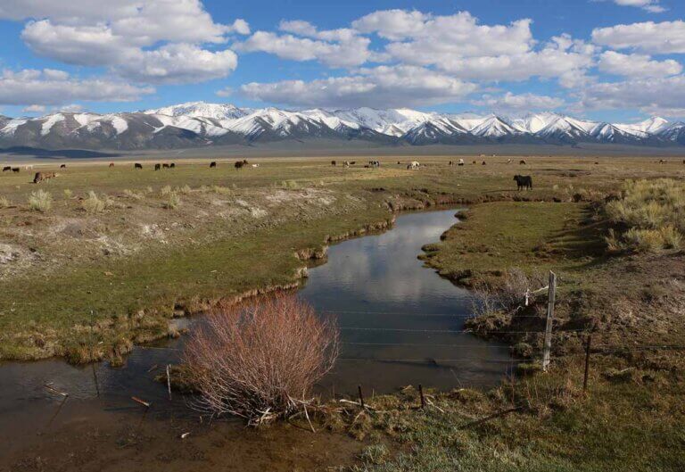
We’ve all heard it’s best to take the high road. In central Nevada—just south of Austin—this couldn’t be easier. The 62-mile Toiyabe Crest National Recreation Trail traverses the spine of one of the state’s highest (and longest) mountain ranges through the pristine Humboldt-Toiyabe National Forest.
Toiyabe Crest Trail Details
- Location: Toiyabe Range within the Humboldt-Toiyabe National Forest near Austin, Nevada
- Total Distance: 62.7 miles
- Hiking Duration: Depending on skills and preference, 2-3 days for hiking a portion of the trail and 3-7 days to hike the entirety of the Toiyabe Crest Trail
- Elevation Range: 6,345 to 11,778 feet (Toiyabe Dome and Arc Dome peaks)
- Trailheads: Kingston Trailhead (North) and North/South Twin Trailhead (South).
- Difficulty: Advanced
Hiking the Toiyabe Crest Trail
If you plan to attempt hiking the Toiyabe Crest in its entirety, this will require some conditioning and planning. The route climbs steeply from either end before following the winding mountain crest that often sits above 10,000 feet. At this elevation, tree cover is limited, which means sporadic protection from inclement weather. Additionally, hikers should plan for long, waterless stretches that will require supplies management.
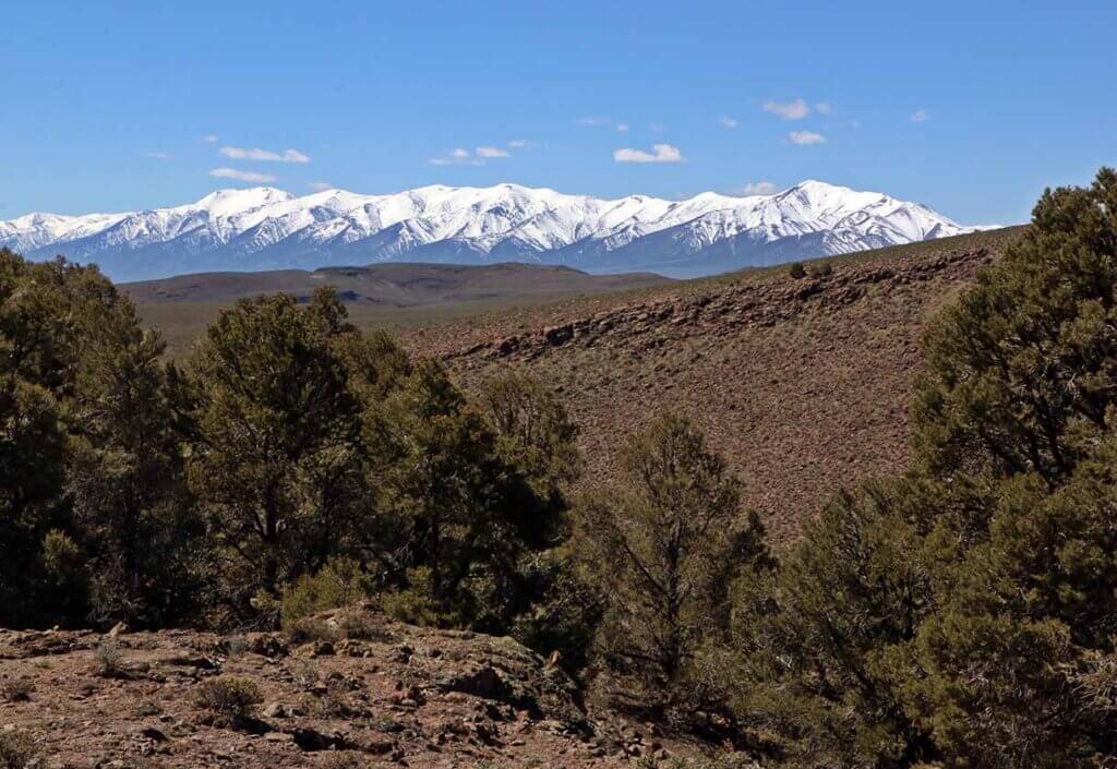
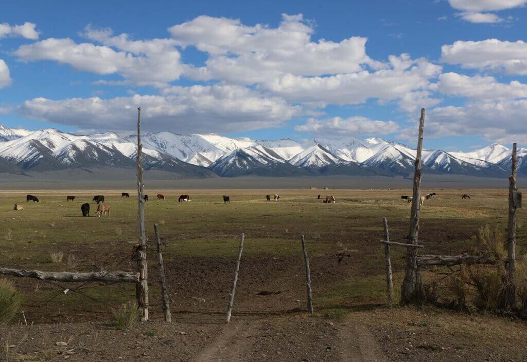
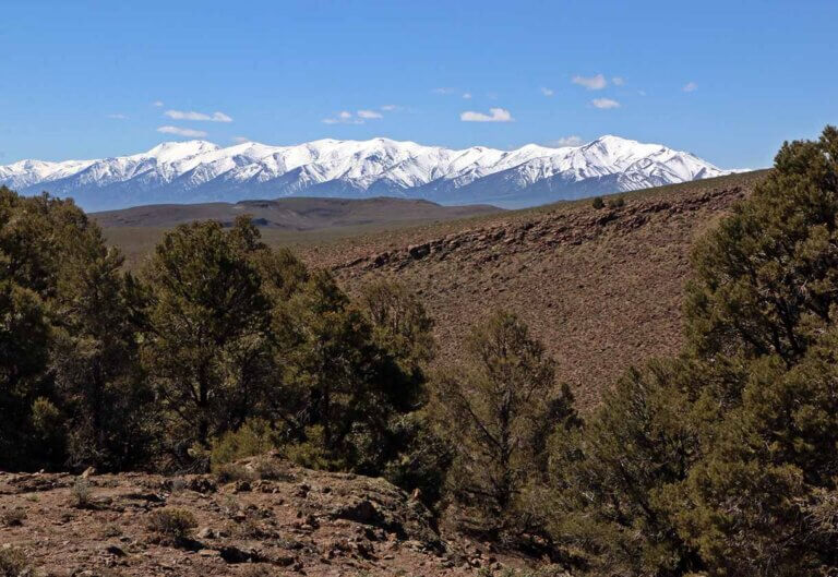
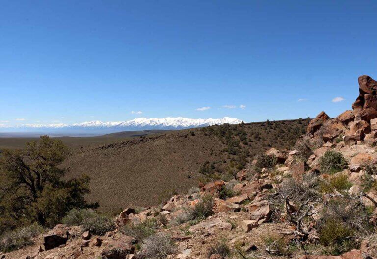
For those willing to plan around these hardships, the effort is worth it. Hikers will enjoy days unplugged in breathtaking solitude in one of the West’s most pristine alpine environments and hundred-mile views of basin-and-range country. If you’re looking at optional side trips, consider conquering the top of Arc Dome (11,778 feet) or exploring the canyons of the upper Reese and South Twin Rivers.
For those seeking an abridged version of the trail, experiences for all levels are available at Stewart Creek Trail, North Twin River Trail, and Cow Canyon Trail.
Trail Access
There are two access points for the Toiyabe Crest Trail. For northern access, take the Kingston Trailhead, which is located about 6 miles west of Kingston in Kingston Canyon. Southern access is available at the North/South Twin Trailhead within the Arc Dome Wilderness.
For more information about hiking or backpacking the Toiyabe Crest Trail, reach out to the Humboldt-Toiyabe National Forest’s Austin-Tonopah Ranger District office in Austin.
Wild Granites: Beyond The Hiking Trail
The Wild Granites are a multi-pitch paradise and barely-touched vertical playground for rock climbers. Featuring massive walls and expansive views, this granite intrusion stands out against the region’s surrounding landscape.

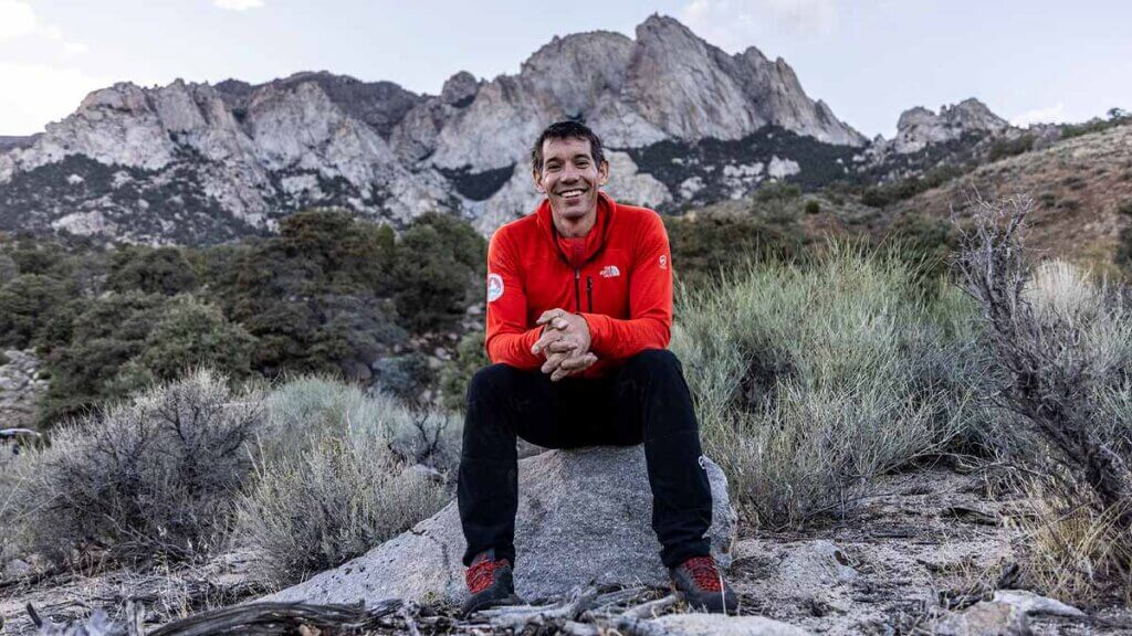
The conspicuous outcropping near Toiyabe Range Peak can be appreciated from afar for its stark beauty, but climbers interested in ascending should do their homework and prepare accordingly. These routes are technical and should only be attempted by experienced climbers.
Toiyabe Crest Trail & Arc Dome Wilderness FAQs
How long does it take to hike the whole Toiyabe Crest Trail?
Hiking the entirety of the Toiyabe Crest Trail will depend on your personal preferences: how much distance you can cover in a day, how often you stop for breaks or photos, how much time you’ve allotted for the experience, etc. The full length of the trail is 62.7 miles, so start by dividing that number by how many miles you’ll realistically log each day.
What is the elevation of the Toiyabe Crest Trail?
The Toiyabe Crest Trail ranges from roughly 6,345 feet at its lower points to a peak of 11,778 feet at Arc Dome. The nearby Toiyabe Dome is at 11,361 feet.
Where do I find the Toiyabe Crest Trailhead?
The Toiyabe Crest Trail can be accessed from two trailheads. The Kingston Trailhead in Kingston Canyon provides northern access, and the North/South Twin Trailhead in the Arc Dome Wilderness provides southern access.
Is the Toiyabe Crest Trail too hard for new hikers?
The Toiyabe Crest Trail is likely best for more advanced hikers or backpackers: Between the trail length, terrain, and elevation, hiking out here requires more preparation and supplies. Use the U.S. Forest Service’s website to explore all the day hikes available and ultimately decide for yourself based on your personal skills.
Where is the Arc Dome Wilderness in Nevada?
Arc Dome Wilderness is in the Toiyabe Range within the Humboldt-Toiyabe National Forest. South of Austin and Kingston, this is the largest wilderness area in Nevada, spanning roughly 115,000 acres. Arc Dome Trail connects to the Toiyabe Crest Trail.
This Location:

City
AustinRegion
North Central