Tahoe Rim Trail
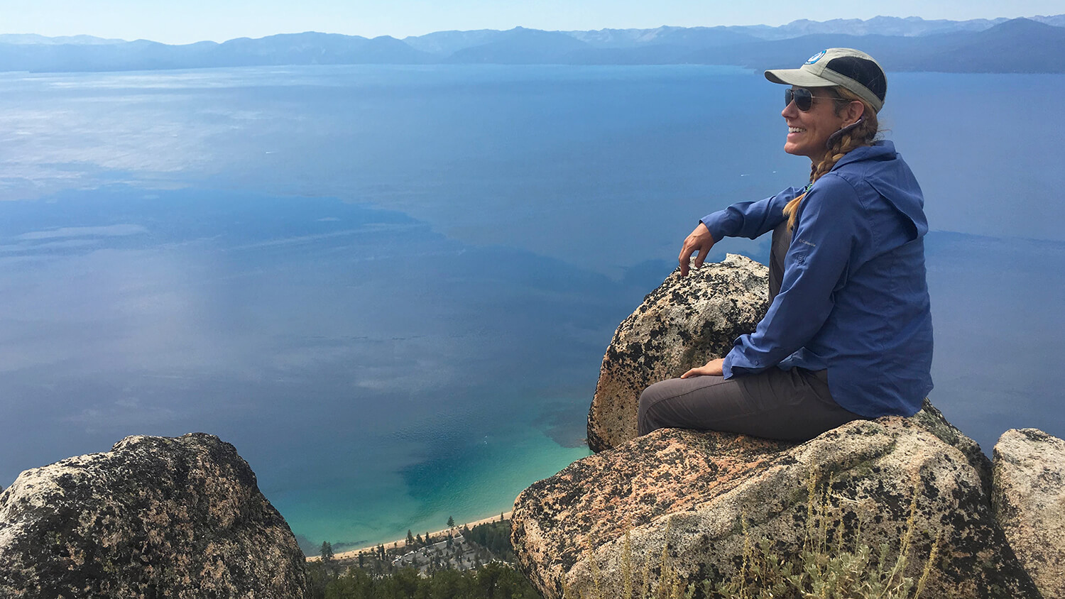
Encircling the entire Lake Tahoe Basin, the Tahoe Rim Trail is a 165-mile hike comprised of eight sections that wind through a variety of terrain. Ranging from incredible vistas, hidden alpine lakes tucked in the wilderness areas surrounding Lake Tahoe, meadows and valleys, and of course, unmatched views of Lake Tahoe.
Whether you want to earn an exclusive membership in the 165 Mile Club or are more interested in a relaxing day hike, the pristine beauty found along the Tahoe Rim Trail (or TRT, as locals call it) is an experience you won’t soon forget.
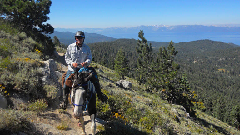
The Tahoe Rim Trail makes for a recreational feat unlike any other. Drawing hikers, mountain bikers, and horseback riders from all over the world, the trail offers a variety of terrain challenges. Regardless of which way you circumnavigate the lake, your elevation gain and loss will always be the same, but most who attempt to hike the entire Lake Tahoe Rim Trail hike the trail clockwise. Though winter conditions range from year to year, most of the snow melts by the end of June.
The only permits required along the TRT are for the Desolation Wilderness Area, located at the southern end of the basin. Day use permits to hike the Desolation Wilderness are free and can be acquired at the trailhead from U.S. Forest Service kiosks. If you are planning to camp overnight, camping permits can be purchased at Recreation.gov.
For an in-depth Tahoe Rim trail map, trail conditions, fire regulations, and special seasonal events like guided photography hikes and geology talks, visit the Tahoe Rim Trail Association.
Tahoe Rim Trail Map Info
For an in-depth Tahoe Rim trail map, trail conditions, fire regulations, and specialty seasonal events like guided photography hikes and geology talks, visit the Tahoe Rim Trail Association.
Hiking the Tahoe Rim Trail
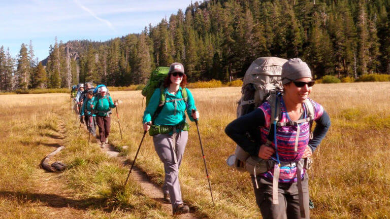
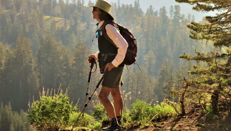
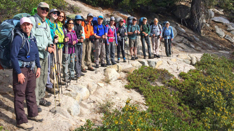
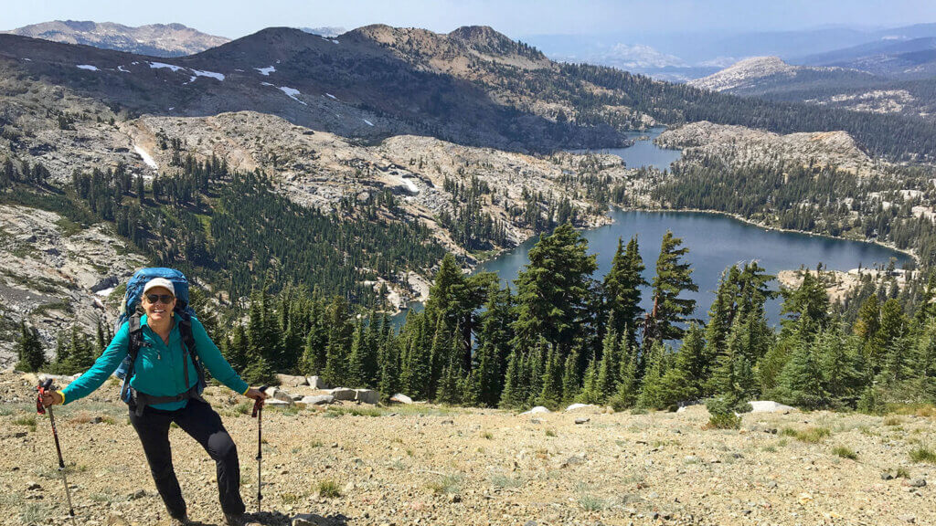
Whether you hope to thru-hike all 165 miles or just want to tackle a section or two in a weekend, hiking the Tahoe Rim Trail is an experience that appeals to every kind of hiker. The Tahoe Rim Trail Association recommends day hikes to Lake Aloha, Star Lake, Round Lake, and Richardson Lake. They also have great suggestions for youth backcountry camping trips.
Distance: 165 miles total
Elevation: 6,300’ to 10,300’
Difficulty: All levels, ranging from beginner to advanced
Getting There: The nine different Tahoe Rim trailheads are located at the following places:
- Spooner Summit on U.S. 50
- Tahoe Meadows on State Route 431
- Brockway Summit on State Route 237
- Tahoe City on State Route 89
- Barker Pass between Tahoe City and Tahoma
- Echo Lake off U.S. Highway 50
- Echo Summit just west of the Snow Park area
- Big Meadow off State Route 89 south of U.S. Highway 50
- Kingsbury Grade at the Heavenly Stagecoach parking lot or end of Benjamin Street
Travel Nevada Pro Tip
Mountain Biking the Tahoe Rim Trail
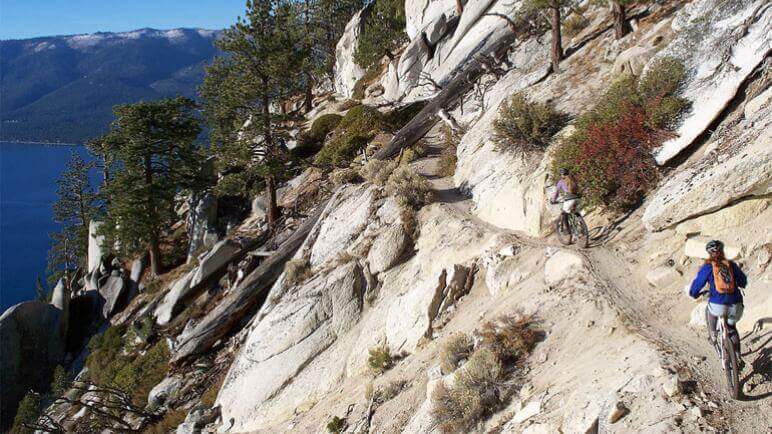
If you’d rather hit the dirt on two wheels, there are plenty of opportunities for mountain biking the Tahoe Rim Trail. The trail offers a variety of terrain and challenges for mountain bikers, including some sections with an elevation gain—and then loss!—of 4,000’. Brace yourself for incredible ridge rides among granite peaks, mellow singletrack through vibrant green meadows, and incredible glimpses of one of the clearest bodies of water on earth. Be sure to plan ahead: about 50% of the trail is closed to mountain bike traffic, including the portion of the Pacific Crest Trail (PCT) on the west shore and the Mt. Rose Wilderness Area up north.
Difficulty: Intermediate to advanced riding
Getting There: The Tahoe Rim Trail circles Lake Tahoe and bicyclists can access several trailheads throughout. For more information and a detailed map click HERE .
165-Mile Club
Are you itching to complete the entire TRT? Be sure to join the Tahoe Rim Trail Association as a member. There is no time limit for completing the trail—you can complete all 165 miles by thru-hiking in one season, or in section-by-section over the course of 30 years. All 165-Mile Club members receive certificates and patches, and are added to the TRTA book of records. Hike on!
This Location:

City
North Lake TahoeRegion
Northwestern
